Developing Geospatial Modeling and Data Analysis Building Blocks in HUBzero (GABBs)
Category
Published on
Abstract
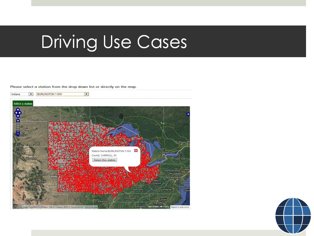
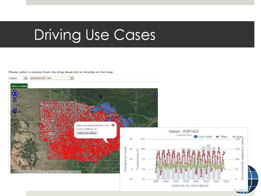
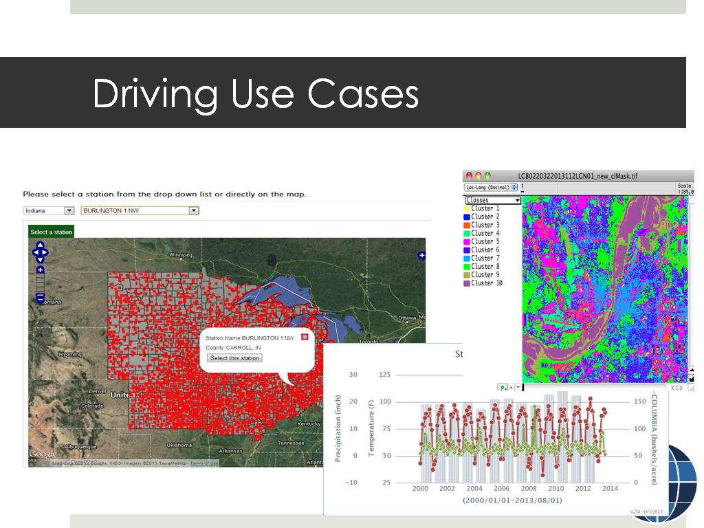
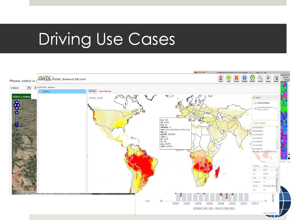
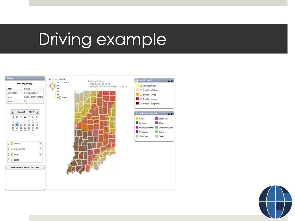
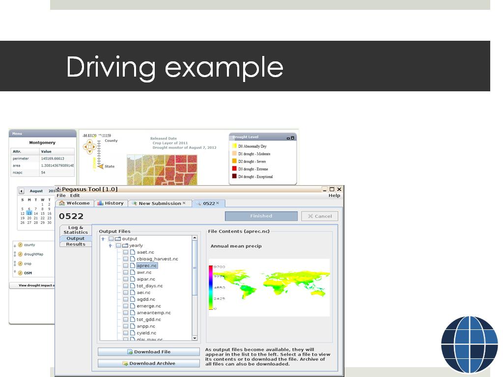
Responding to the need for geospatial tool and data capabilities in HUBzero from various communities, a Purdue team is developing and integrating geospatial capabilities into the HUBzero software. Funded by the National Science Foundation’s Data Infrastructure Building Blocks (DIBBs) initiative, the follow-on program to the DataNet program, the GABBs project is at the beginning of a four-year development effort aiming at enabling scientific users to create and share geospatial data and tools without requiring significant levels of software expertise or IT administrative privileges. The new geospatial functions will be integrated into the existing HUBzero framework such as Rappture for rapid tool development, resource management and publishing, and so on, and will be available along with the open source HUBzero software releases. The GABBs development is building on past and ongoing projects such as DRiInet, GeoShare, and WaterHUB, as well as integrating with other community efforts including iRODS distributed data management and Globus data transfer. This presentation will provide an overview of the project, use case examples, and expected outcome, and solicit feedback from the HUBzero community.
Bio
Dr. Carol Song is a Senior Research Scientist and director of the Scientific Solutions group at the Rosen Center for Advanced Computing, Purdue University. Carol received her Ph.D. in computer science from University of Illinois at Urbana-Champaign. Her current research interests include high performance computing and distributed systems, cyberinfrastructure science, and data-driven methods and applications. Carol is the principal investigator for several NSF funded projects, including the DRINET, TeraGrid, and XSEDE. She served as the Chair of the XD Service Provider Forum 2011-2013 and is currently a member of the XSEDE advisory board. Her most recent project is an NSF Data Infrastructure Building Blocks (DIBBs) implementation grant to develop and integrate geospatial tools and data support into HUBzero, furthering the HUBzero platform for scientific collaboration.
Cite this work
Researchers should cite this work as follows:
Tags
-
 1. Broadening Access to Geospatia…
0
00:00/00:00
 -
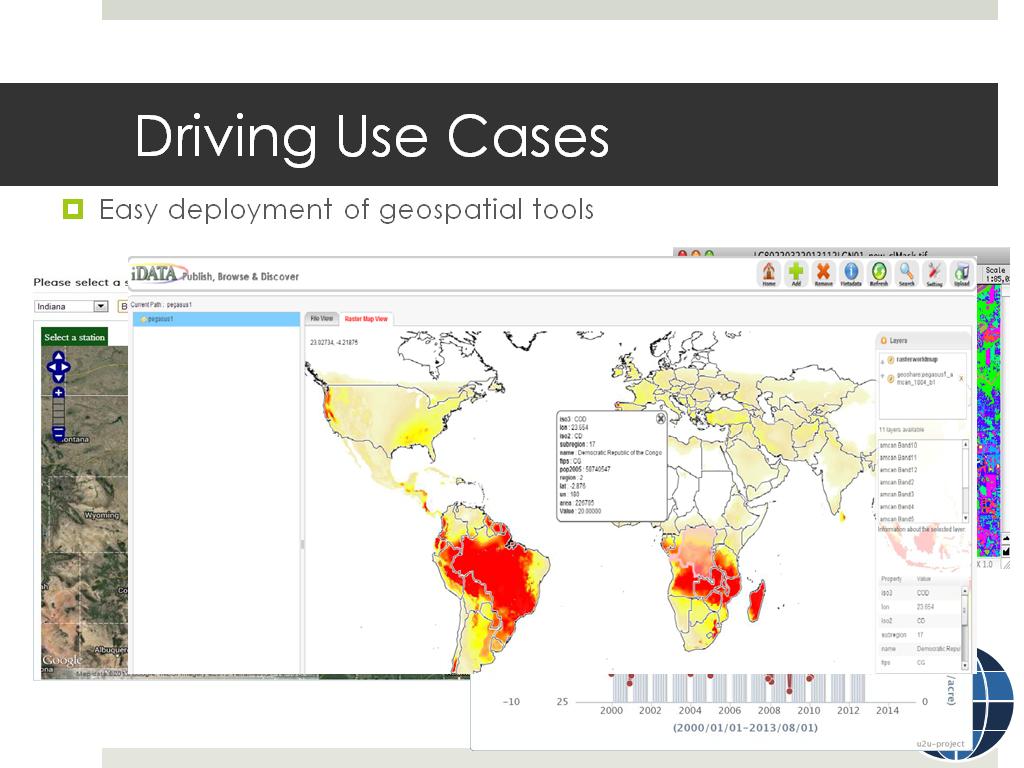 2. Driving Use Cases
62.395729062395731
00:00/00:00
 -
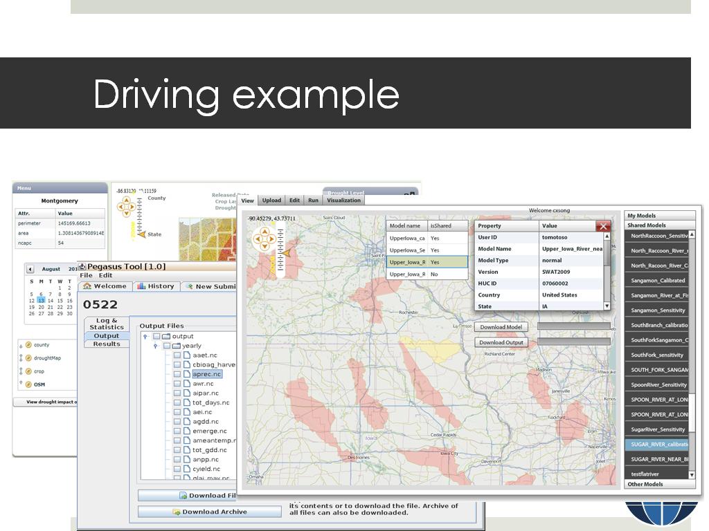
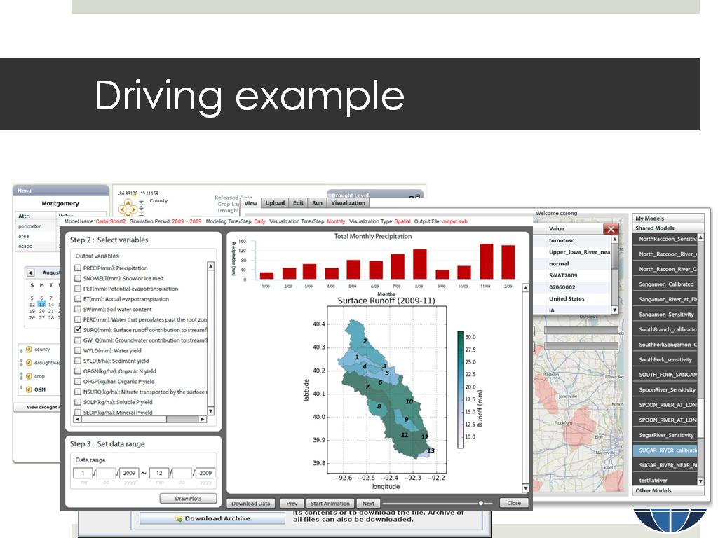
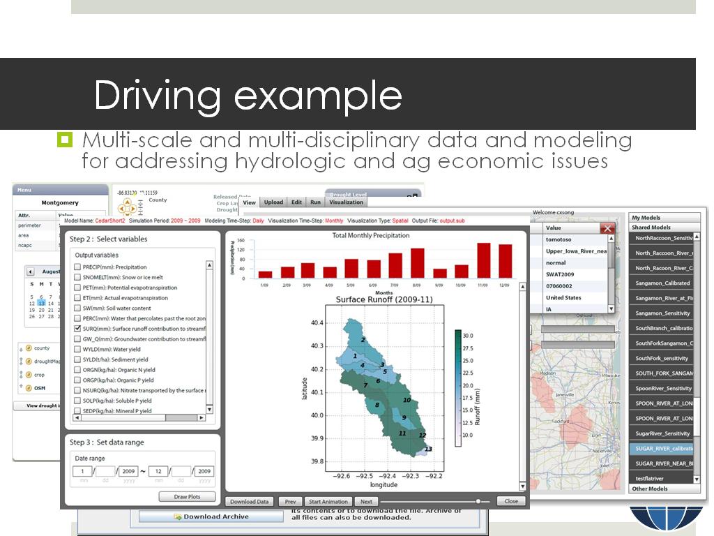 3. Driving example
183.983983983984
00:00/00:00
 -
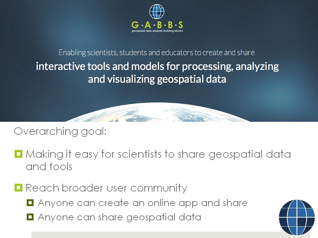 4. Overarching goal:
383.31664998331667
00:00/00:00
 -
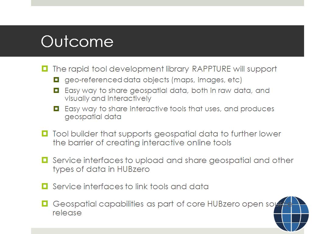 5. Outcome
446.64664664664667
00:00/00:00
 -
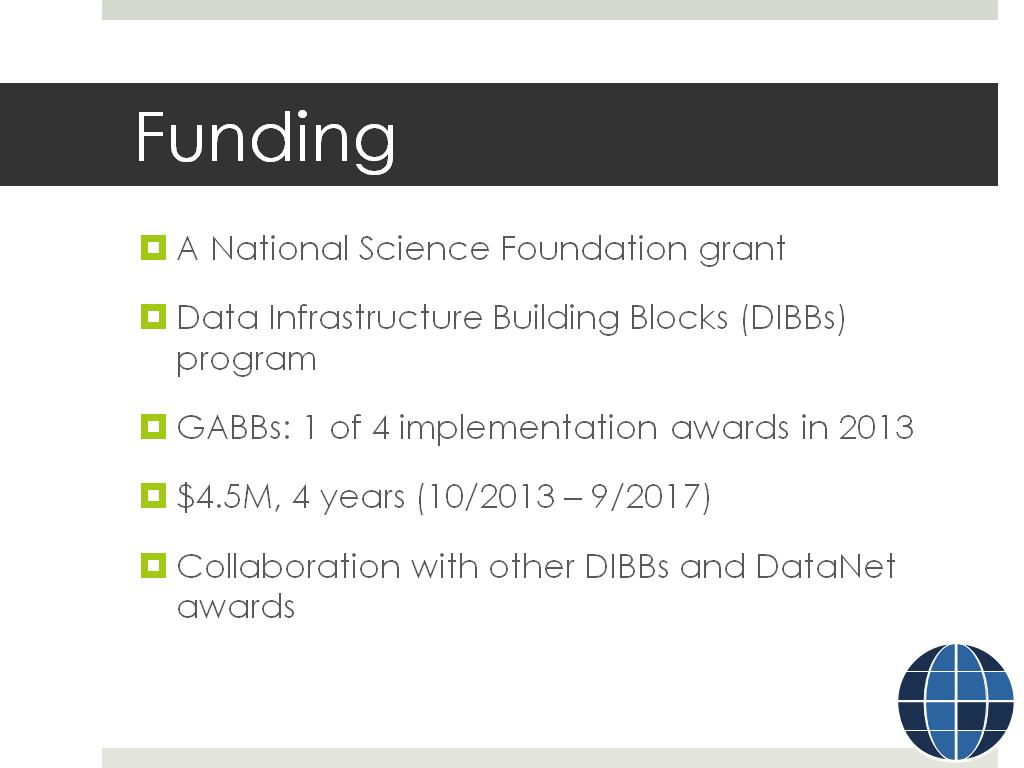 6. Funding
696.62996329663
00:00/00:00
 -
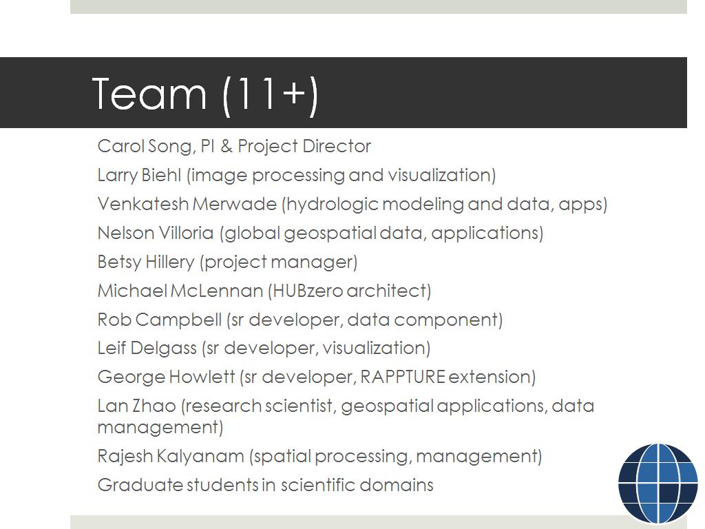 7. Team (11+)
764.330997664331
00:00/00:00
 -
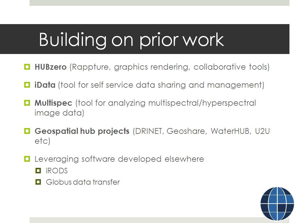 8. Building on prior work
793.22655989322664
00:00/00:00
 -
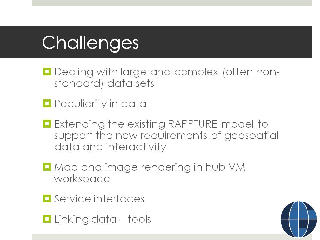 9. Challenges
819.48615281948616
00:00/00:00
 -
 10. What's to come?
902.03536870203538
00:00/00:00
